Across the Naas area, the glacial till overlying the limestone bedrock varies wildly in thickness—sometimes less than two metres, sometimes over ten. This irregular interface is exactly why standard probing often misses cavities or pinnacled rock. Seismic tomography gives us a continuous image of the subsurface, measuring P-wave and S-wave velocities to map the transition from drift to competent rock. For sites near the canal or along the M7 corridor, we combine this with MASW to get shear-wave velocity profiles for Eurocode 8 site classification. The data feeds directly into foundation design, eliminating the guesswork around bearing strata depth.
The seismic velocity contrast between saturated till and karstified limestone in the Naas area is a reliable indicator of rock quality, but only if the survey geometry is long enough to capture the first arrivals from depth.
Service characteristics in Naas
Risks and considerations in Naas
Naas sits on the eastern margin of the Irish Midlands karst region, where limestone dissolution has created a network of buried cavities and fissures. A 2022 site investigation report for a development near Monread revealed a 4-metre-deep void that surface observations had given no hint of. Undetected karst features under a foundation can trigger sudden settlement or even collapse. Seismic refraction tomography identifies these voids as low-velocity anomalies in an otherwise high-velocity rock mass. The risk is not theoretical—multiple properties in the wider Kildare area have required underpinning after construction on inadequately investigated karst ground. A seismic survey before design is straightforward insurance against a problem that costs far more to fix later.
Our services
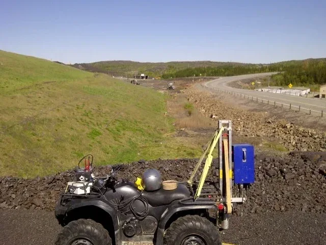
Our seismic surveys in Naas cover everything from a single 2D refraction line to multi-line grids with cross-hole calibration. Every survey is processed in-house by the same geophysicist who acquired the data.
Seismic refraction tomography
Shallow bedrock profiling and rippability assessment. Standard setup with 24 geophones, ideal for foundation design on till-over-limestone sites across Naas.
Seismic reflection profiling
Deeper imaging where a low-velocity layer overlies faster material, or for targets beyond 30 metres. Used for deep quarry assessment and regional geological mapping.
Vs30 and site classification
Combined MASW and refraction to compute the average shear-wave velocity to 30 metres. Required input for Eurocode 8 seismic design category determination.
Cross-hole seismic calibration
Borehole-to-borehole velocity measurements to ground-truth the tomographic model. Provides the highest-resolution velocity log for critical infrastructure projects.
Quick answers
How much does a seismic refraction survey cost for a Naas site?
A typical refraction survey on a residential or commercial plot in the Naas area ranges from €2,460 to €4,890, depending on the number of lines, profile length, and whether S-wave data is acquired alongside P-wave data. Larger grids or reflection work are quoted on a project-specific basis.
Which method is better for finding cavities in limestone—refraction or reflection?
For shallow cavities within the top 15 to 20 metres, refraction tomography is usually the right choice. The velocity contrast between air-filled or clay-filled voids and the surrounding limestone is strong enough to show up clearly in a tomographic inversion, provided the geophone spacing is sufficiently tight.
What preparation is needed before the seismic crew arrives?
We need a clear, unobstructed line for the geophone spread—long grass is fine, but dense scrub or standing water can cause problems. The shot points must be accessible for the energy source. We handle all permitting and traffic management if the survey line crosses a road or footpath.